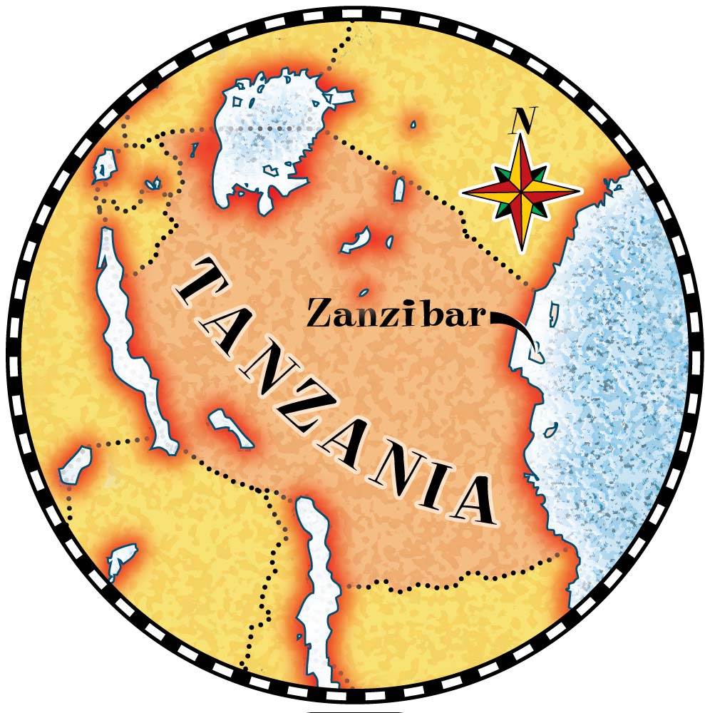
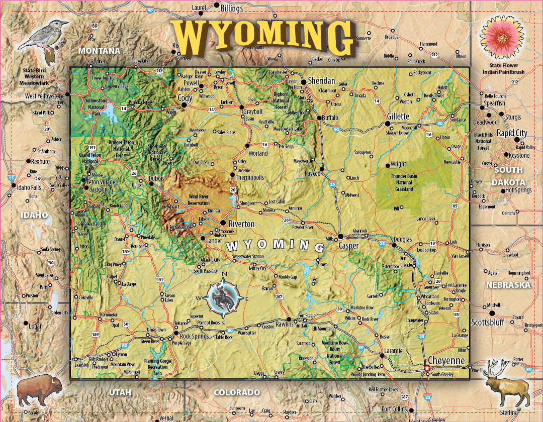
Joe LeMonnier
About Joe LeMonnier
Some recent clients
Making maps and technical illustrations for just about everyone in all major media.
This map is the frontispiece for the first book - The Relic of Perilous Falls- in the Will Wilder series of YA adventure books published by Random House.
The world map is the frontispiece for Geoffrey Kent's memior Safari, published by HarperCollins while the globe was made for an exhibit in the Sharlot Hall Museum in Prescott, Arizona.
Time For Kids asked me to make an illustrated map including many of Australia's diverse native animals. This same map was later re-worked and used as a jigsaw puzzle published by Geotoys.
Scholastic used this somewhere in a movie and as a white board illustration.
This map of colonial Williamsburg drawn as a 2-page spread for Red Chair Press, incorporates most of the restored buildings while eliminating the modern ones.
Dr. Dale Bredesen wanted to illustrate the two conflicting states of Alzheimer's immune responses and suggested an analogy with the two states of Korea. This appears as one of a dozen illustrations I made for best seller The End of Alzheimer's published by Crown.
Perri deFino needed a map with a look and feel of the 18th century to illustrate a book for The Da Capo Press.
Time For Kids allowed me free rein to explain how the Panama Canal works. I posted it then to Youtube and so far it has 3.4 million views!
Souvenir shops all over New Mexico sell these jigsaw puzzles. They are also sold somewhere, I'm told on the National mall in D.C. Geotoys makes them. We've done a dozen other states and cities together. Check their site.
The Butler Conservation Fund is spending massive amounts Gilbert Butler's and others' wealth to develop accessable wilderness parks all over the world. This map illustrates one of the closer-to-home projects- Minnewaska State Park Preserve in New York state. Others you may have heard of are: a proposed National Park in Maine funded by Burt's Bees and the gigantic projects in Patagonia.
Knopf Publishers commissioned this for the frontispiece for their best seller Sea Wife by Amity Gaige.
MSP Communications commissioned this map for NorthWest Airlines to use in their in-flight magazines. They've used it a few times.
The stellar and inspirational Claudia Alexander asked me to draw maps and diagrams for her unique childrens' science series - Windows to Adventure. We made over a hundred maps and illustrations together. This map uses the islands of Hawaii to illustrate the difficulty of describing or measuring the tallest mountain. In her book, the mountains themselves talk!
This one was rejected by the publisher Dunn Books, in favor of smaller maps for chapter openers instead. Fractus Europa is a recent favorite of mine. It contains 13 short dystopian tales of the very near future. No zombies or nuclear war here - That would be too easy.
Every year The Northern Virginia Technology Council commissions a different map maker to create a poster for their annual convention. 2014 was my year.
This map and another of the Rockies appeared printed on the wall of the Gallery to introduce an exhibit of 19th century mountain paintings at The Newark Museum. They wanted something simple to orient the show, I wanted to keep it light and low-key for the soft museum lighting. It also appeared as frontispiece for the catalog.
I produce science illustrations as well. Though mostly for textbooks, this one was for National Geographic Kid's Magazine.